Skip to content
Holopaw, FL

Parcel Search. Suburban Estates

Look up property owners and parcel numbers for all parcels in Suburban Estates, Holopaw, FL. Free. No account required.

Holopaw, FL, Osceola County, FL·~11,000-acre community·Typical lot: 0.3 to 1.25 acres
Showing 4249–4272 of 8,711 parcels
182732000042230000PEREZ FERNANDOHOLOPAW GROVES RD, SAINT CLOUD182732000042240000PEREZ FERNANDOHOLOPAW GROVES RD, SAINT CLOUD182732000042310000ANDERSON SHEILA SHOLOPAW GROVES RD, SAINT CLOUD182732000042330000LANCE DALE WHOLOPAW GROVES RD, SAINT CLOUD182732000042410000PAUPINI ANTHONY JHOLOPAW GROVES RD, SAINT CLOUD182732000042430000HIGHTOWER VIOLET WHOLOPAW GROVES RD, SAINT CLOUD182732000043110000MONDEZIE AKIA EHOLOPAW GROVES RD, SAINT CLOUD182732000043130000GRAHAM GRACE VIOLAHOLOPAW GROVES RD, SAINT CLOUD182732000043140000HENDRIX CHRISTOPHER GHOLOPAW GROVES RD, SAINT CLOUD182732000043140010GOMEZ MOISESHOLOPAW GROVES RD, SAINT CLOUD182732000043140020BURNS JOHN E IVHOLOPAW GROVES RD, SAINT CLOUD182732000043140030BAILEY DEREK THOLOPAW GROVES RD, SAINT CLOUD182732000043140040BURNS JOHN E IVHOLOPAW GROVES RD, SAINT CLOUD182732000043140050BAILEY DEREK THOLOPAW GROVES RD, SAINT CLOUD182732000043140060PACE THOMASHOLOPAW GROVES RD, SAINT CLOUD182732000043140070PACE THOMASHOLOPAW GROVES RD, SAINT CLOUD182732000043210000CORDOVA ANDREWHOLOPAW GROVES RD, SAINT CLOUD182732000043210010BROOKS SHAWNHOLOPAW GROVES RD, SAINT CLOUD182732000043210020JAGANI MUHAMMAD RAZAHOLOPAW GROVES RD, SAINT CLOUD182732000043210030GRAFF CHARLES SHOLOPAW GROVES RD, SAINT CLOUD182732000043210040TOLBERT JARAMEA DHOLOPAW GROVES RD, SAINT CLOUD182732000043210050METAMETA LLCHOLOPAW GROVES RD, SAINT CLOUD182732000043210060METAMETA LLCHOLOPAW GROVES RD, SAINT CLOUD182732000043210070METAMETA LLCHOLOPAW GROVES RD, SAINT CLOUD

Page 178 of 363

4249–4272 of 8,711

About Holopaw, FL Parcel Records

Suburban Estates is located roughly 50 miles south of Orlando in Osceola County. The community contains thousands of individual parcels, typically 0.3 to 1.25 acres of raw land.

Parcel data shown here comes from Osceola County public GIS records. You can search by owner name (last name works best) or by parcel number. Each record shows the owner of record, mailing address, physical address, acreage, assessed value, and legal description.

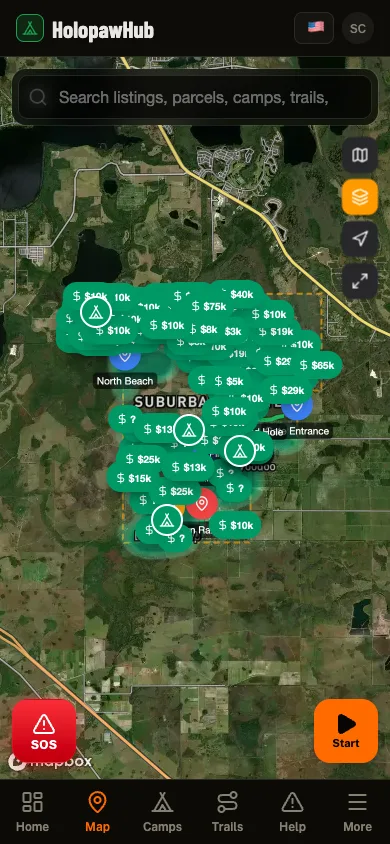
Need to see parcel boundaries on a map? The free Holopaw Hub app shows every parcel boundary overlaid on satellite imagery. Tap any lot to see owner details, record a trail, or check fire alerts. No subscription required.

See every parcel on a satellite map

The Holopaw Hub app shows every parcel boundary on satellite imagery. Tap any lot for owner details, fire alerts, and community features. Completely free.

Get the App. It's Free