
FAQ
Questions, answered
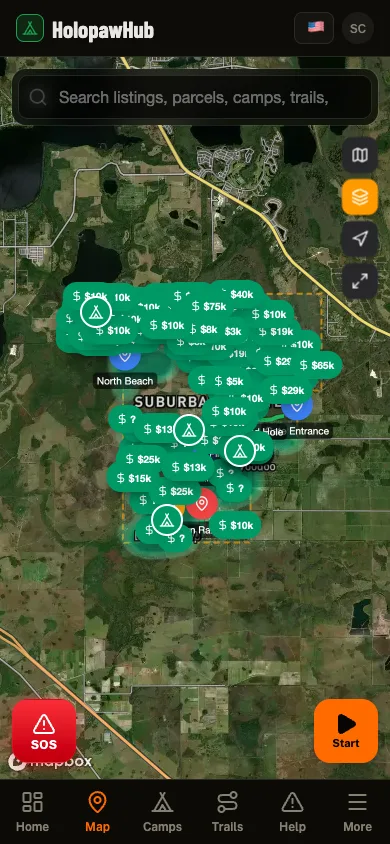
What it costs (nothing), who built it, what it does with your data, and whether it works when you have no signal out in Suburban Estates.
No catch. The paid apps cover every county in the country and that costs real money to keep up. We cover one community. The parcel data comes free from the county, the rest comes from people out here. Nothing to sell, so nobody is selling you.
No. No ads, nothing handed to analytics companies, nothing about you for sale. The rides you record go into the community trail map so everybody can find the good routes, and your fire and road reports go to your neighbors. That is all any of it is for.
My name is Sean and I'm a landowner out here in Suburban Estates. I built Holopaw Hub so I could get NASA fire alerts for my camp, and it grew into a lot more than that. It is not run by the county and it is not run by SEPA. The goal is still the same one it started with: get as much free information as possible into the hands of Suburban Estates landowners.
Nope. Open app.holopawhub.com in your phone browser and it works. Phone, tablet, laptop, whatever you have got. The iPhone and Android versions are on the way too.
Not to look around. The map and the parcel lookups are open to anybody. You only need an account, still free, to post in chat, claim your camp, or use the marketplace.
No. Everybody in Suburban Estates. SEPA member, every-weekend regular, or you bought a lot last month and have not been out yet.
Partly, and we would rather be straight about which parts. Trail recording does not care about signal at all and syncs whenever you get some back. Map tiles you have already loaded stay on screen, but there is no download-this-area button yet, so ground you have never opened will not draw. Downloadable maps are on the way.