Skip to content
Holopaw, FL

Parcel Search. Suburban Estates

Look up property owners and parcel numbers for all parcels in Suburban Estates, Holopaw, FL. Free. No account required.

Holopaw, FL, Osceola County, FL·~11,000-acre community·Typical lot: 0.3 to 1.25 acres
Showing 3937–3960 of 8,711 parcels
182732000014130000JGL INVESTMENT GROUP LLCHOLOPAW GROVES RD, SAINT CLOUD182732000014210000RIETCHIESEN ENTERPRISES LLCHOLOPAW GROVES RD, SAINT CLOUD182732000014210010SLAUGHTER SAMUEL CHOLOPAW GROVES RD, SAINT CLOUD182732000014210020METAMETA LLCHOLOPAW GROVES RD, SAINT CLOUD182732000014210030WILLIAM SEQUEIROS VELAR REVOCAHOLOPAW GROVES RD, SAINT CLOUD182732000014210040LAM VY DHOLOPAW GROVES RD, SAINT CLOUD182732000014220000HUNTER BENJAMINHOLOPAW GROVES RD, SAINT CLOUD182732000014220020BAKER WILLIAM MHOLOPAW GROVES RD, SAINT CLOUD182732000014230000PFAFF ALBERT EHOLOPAW GROVES RD, SAINT CLOUD182732000014240000CRUZ FRANCISCOHOLOPAW GROVES RD, SAINT CLOUD182732000014320000BORGES STEVEN ROBERTHOLOPAW GROVES RD, SAINT CLOUD182732000014320010MEDINA MEDINA KEVIN ANTONIOHOLOPAW GROVES RD, SAINT CLOUD182732000014320020NOGUERAS FONSECA NELSON NEMUELHOLOPAW GROVES RD, SAINT CLOUD182732000014320030REYES MARTINEZ SULEIKAHOLOPAW GROVES RD, SAINT CLOUD182732000014320040MENDOZA DE JESUS RONALDHOLOPAW GROVES RD, SAINT CLOUD182732000014320050CARDONA BARRETTO JOSUEHOLOPAW GROVES RD, SAINT CLOUD182732000014320060GIBSON JAMES HOWARDHOLOPAW GROVES RD, SAINT CLOUD182732000014320070NUNEZ MARTINEZ ERICK JAVIERHOLOPAW GROVES RD, SAINT CLOUD182732000014330000THOMAS ABRAHAMHOLOPAW GROVES RD, SAINT CLOUD182732000014340010CROSS MARKHOLOPAW GROVES RD, SAINT CLOUD182732000014340020PARRISH STEPHEN RHOLOPAW GROVES RD, SAINT CLOUD182732000014410000HUDSON PAUL THOMASHOLOPAW GROVES RD, SAINT CLOUD182732000014410010STEVENSON JONHOLOPAW GROVES RD, SAINT CLOUD18273200001441001AOLDAKER EARNEST ROSSHOLOPAW GROVES RD, SAINT CLOUD

Page 165 of 363

3937–3960 of 8,711

About Holopaw, FL Parcel Records

Suburban Estates is located roughly 50 miles south of Orlando in Osceola County. The community contains thousands of individual parcels, typically 0.3 to 1.25 acres of raw land.

Parcel data shown here comes from Osceola County public GIS records. You can search by owner name (last name works best) or by parcel number. Each record shows the owner of record, mailing address, physical address, acreage, assessed value, and legal description.

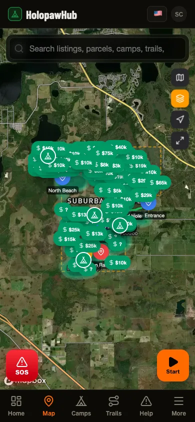
Need to see parcel boundaries on a map? The free Holopaw Hub app shows every parcel boundary overlaid on satellite imagery. Tap any lot to see owner details, record a trail, or check fire alerts. No subscription required.

See every parcel on a satellite map

The Holopaw Hub app shows every parcel boundary on satellite imagery. Tap any lot for owner details, fire alerts, and community features. Completely free.

Get the App. It's Free