Parcel Search Loading map…
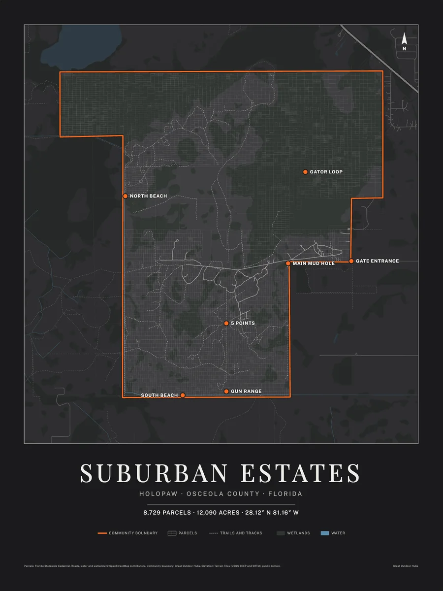 Hang the whole map of Suburban EstatesEvery lot, road, trail and landmark on one wall poster. Three colors, from $39, free shipping in the US.
35273160004224002J
POWELL DANIEL EUGENE LEE
Holopaw, FL, Osceola County, FL0.31 acres
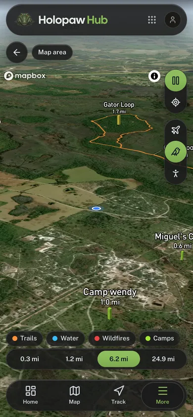
149 neighboring parcels · 7 landmarksOpen this area in the app
Acreage
0.31 acres
Assessed Value
$700
Property Details
- Parcel ID
- 35273160004224002J
- Owner
- POWELL DANIEL EUGENE LEE
- Property Address
- HOLOPAW GROVES RD, SAINT CLOUD
- Acreage
- 0.31 acres
- Assessed Value
- $700
- Township-Range-Section
- 27S-31E-35
Legal Description
W 165 FT OF E 2310 FT OF N 82.
Hang the whole map of Suburban EstatesEvery lot, road, trail and landmark on one wall poster. Three colors, from $39, free shipping in the US.