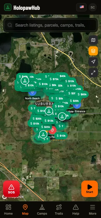
Parcel Search
092732000024330000
MINIER MANUEL
Holopaw, FL, Osceola County, FL10.15 acres
139 neighboring parcels · 7 landmarksOpen this area in the app
Acreage
10.15 acres
Assessed Value
$10,800
Property Details
- Parcel ID
- 092732000024330000
- Owner
- MINIER MANUEL
- Property Address
- HOLOPAW GROVES RD, SAINT CLOUD
- Acreage
- 10.15 acres
- Assessed Value
- $10,800
- Township-Range-Section
- 27S-32E-9
Legal Description
S 1/2 OF SW 1/4 OF SE 1/4 OF N
Also Owned by MINIER MANUEL
8 other parcels in Suburban Estates
122731000024130000HOLOPAW GROVES RD, SAINT CLOUD2.54 acres$3,600132731999201110020HOLOPAW GROVES RD, SAINT CLOUD5.16 acres$5,400142731000012330030HOLOPAW GROVES RD, SAINT CLOUD1.16 acres$1,800162732000021230020HOLOPAW GROVES RD, SAINT CLOUD1.24 acres$1,800182732000041440000HOLOPAW GROVES RD, SAINT CLOUD2.54 acres$3,60019273200003413000FHOLOPAW GROVES RD, SAINT CLOUD2.51 acres$3,60024273160003122000BHOLOPAW GROVES RD, SAINT CLOUD2.50 acres$3,60025273100003112001DHOLOPAW GROVES RD, SAINT CLOUD2.48 acres$3,600